
Survey / Design
Turnkey, High Accuracy
Know more upfront for a better project outcome.
Our technology lets us plan the project in advance and tell our customers about critical aspects of the job, such as which trees or utilities are in conflict, so that only the items that need to be removed are removed.
Our Process
Survey. Design. Build.
Survey
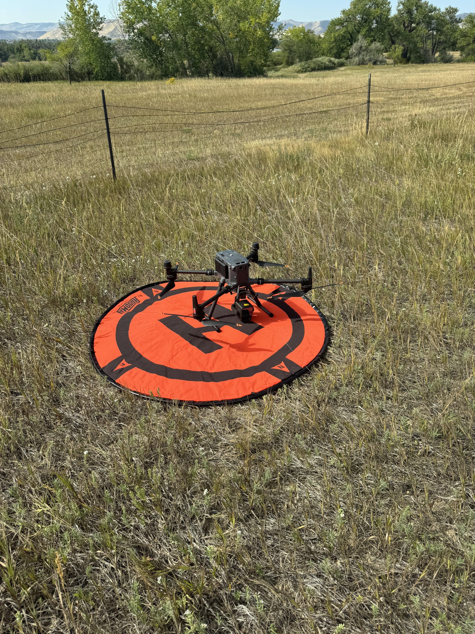
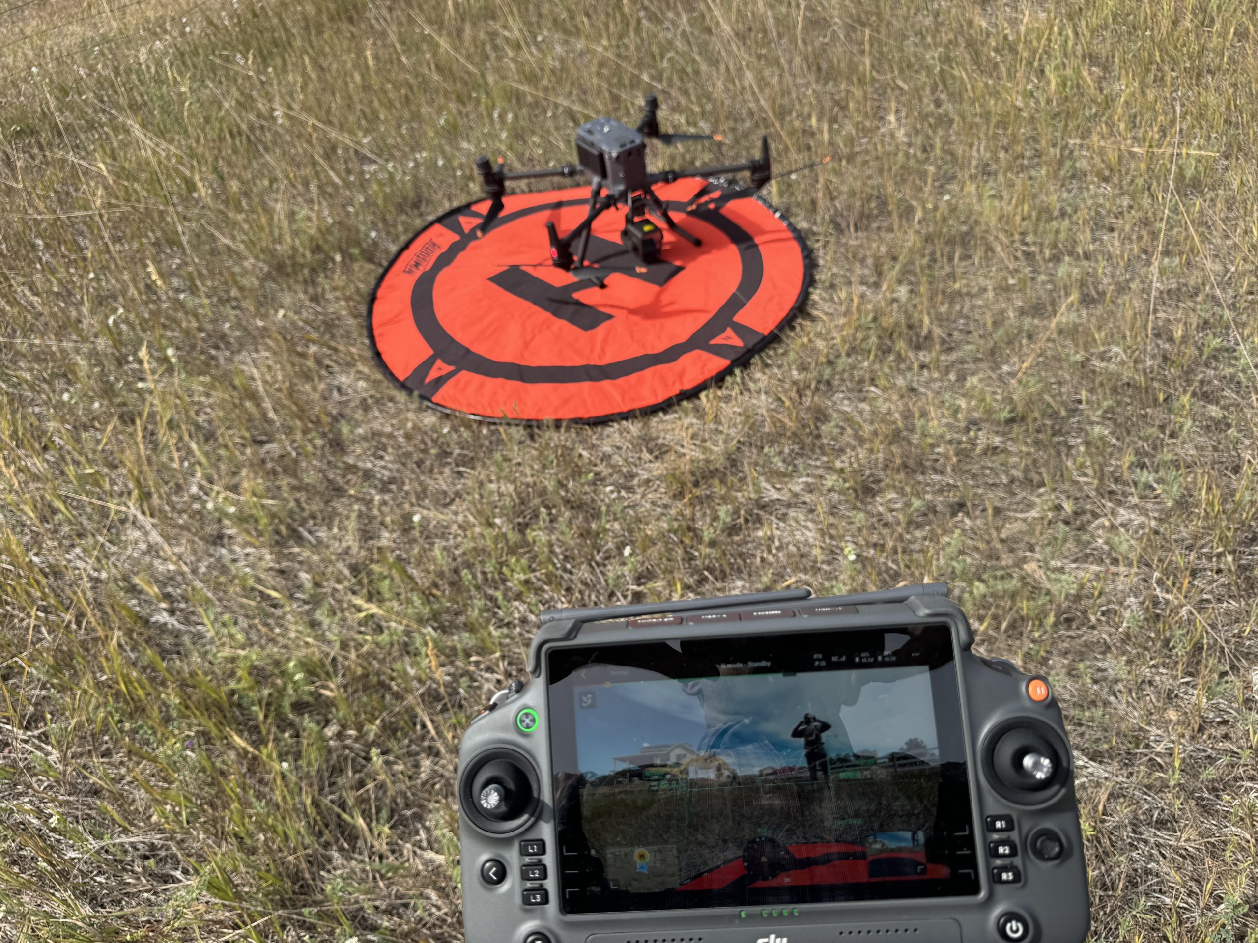
After meeting with you to discuss the scope of work, we fly your project with our survey-grade drone, scanning the ground to create a high-resolution map of the topography.
Design
Once we have a topo of the ground, we take that data back to our office and design the project. Using state-of-the-art CAD software and equipment, we design the site to your specifications.
Build
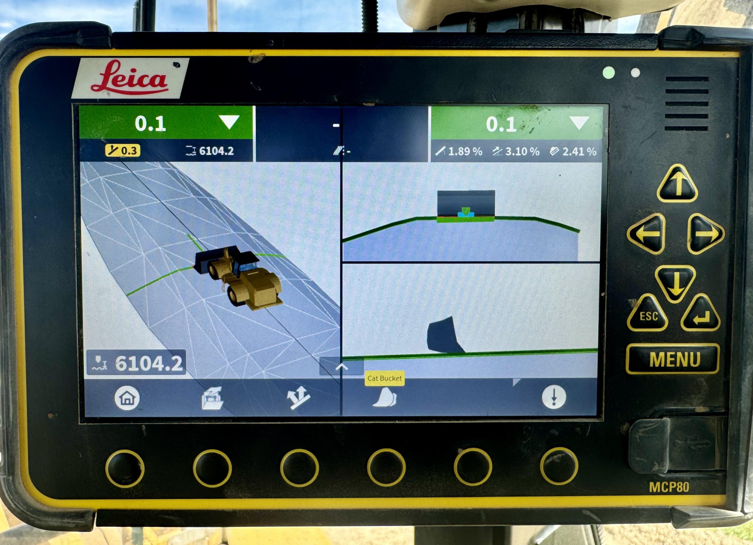
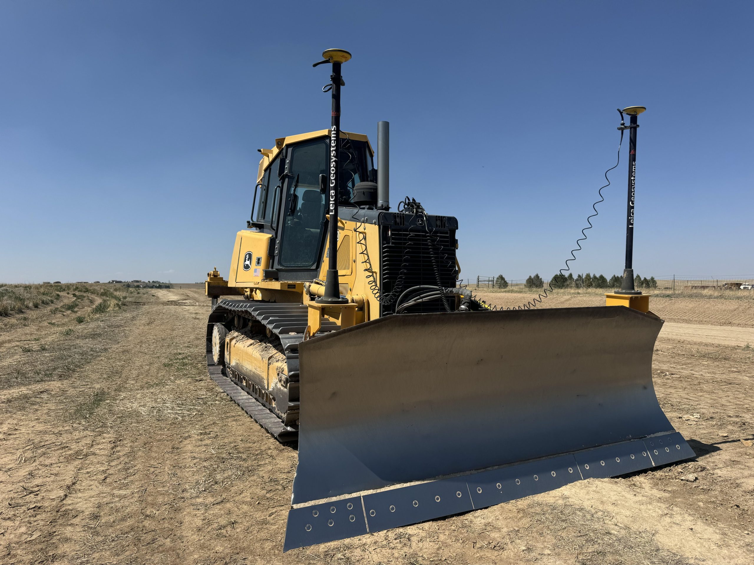
With the project mapped and designed, we’re ready to move dirt. GPS computers and sensors on our heavy equipment (machine control) let us build the project exactly to the design.
Build to the design
Machine Control
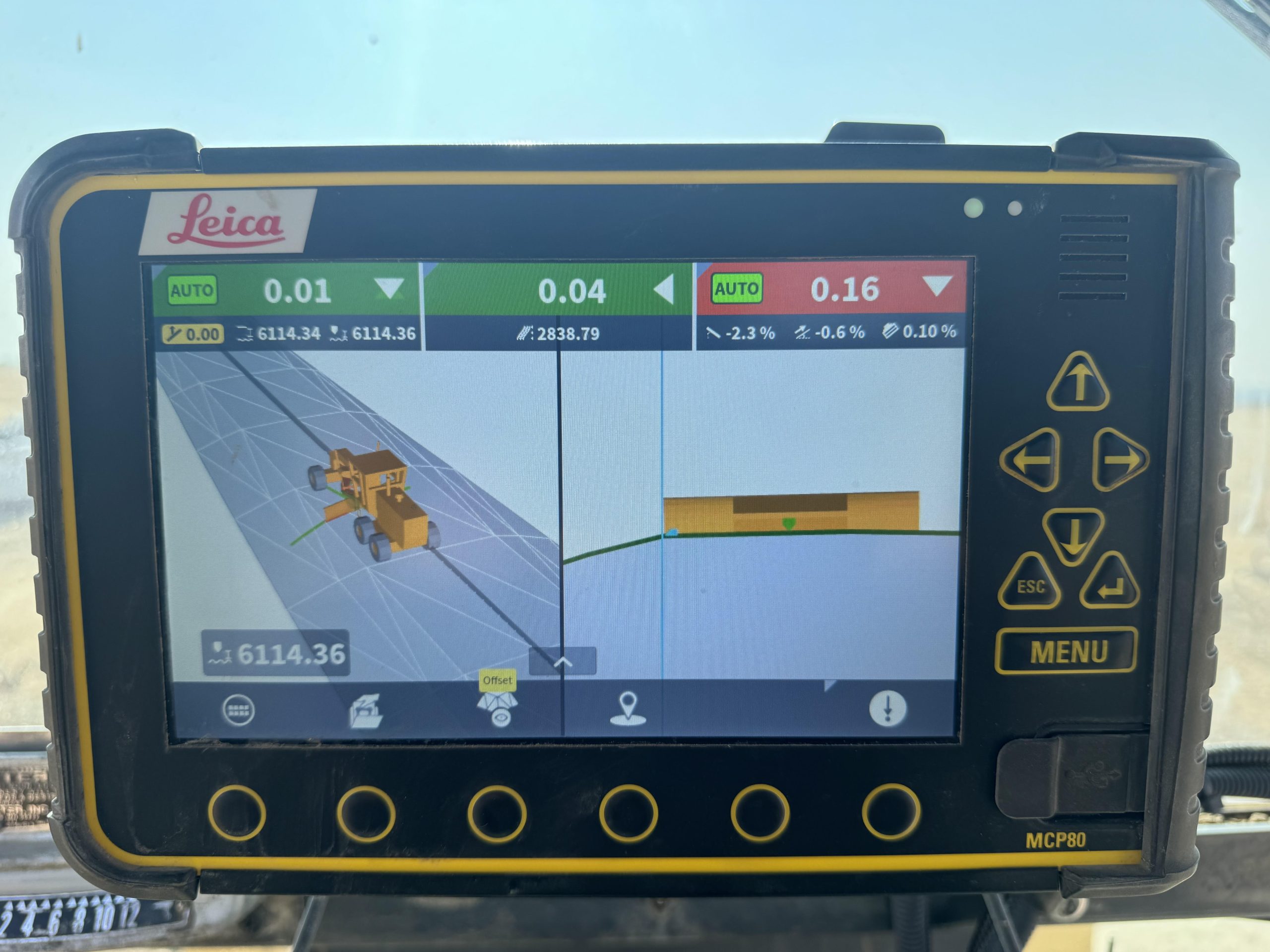
Beyond our survey and design capabilities, what sets us apart is the ability to build the site to the design. Machine control on our fleet of heavy equipment lets us do just that.
The difference
What Makes Us Better?

Blade position against the design surface, live in the cab.
- Stake-Less Grading and ExcavationBuild to the design with no stakes or markers on site
- Upfront Digital PlanningPlans mapped out for a professional, finished site
- Data Sharing With Surveyors and Civil EngineersShare files directly with your project team
- Added Speed and Accuracy on SiteLess rework and fewer stops while equipment runs
- Accurate Dirt and Material Quantity TakeoffsBalance leftover dirt onsite ahead of time
- Preservation of Natural ResourcesWe plan in advance exactly which trees are or aren’t in conflict
- Survey-Grade Record Drawings of Your SiteDocumented as-built records of the finished work
- Awareness of Property Lines and Setbacks OnsiteStay inside boundaries and setbacks from day one
Our Solutions
What We Survey and Design
Pads, roads, record drawings, and whatever your site needs in between.

Barn / Building Pad Design
We survey and design top-notch barn pads. Some competitors look at the site once, pound a few stakes, and start digging with no exact plan. We topo your site in advance and talk with you about your needs and any obstacles. Then we design a high-quality pad with correct drainage, setbacks, and position that looks exactly the way you want, and we build it exactly to the plan.
Road / Driveway Design
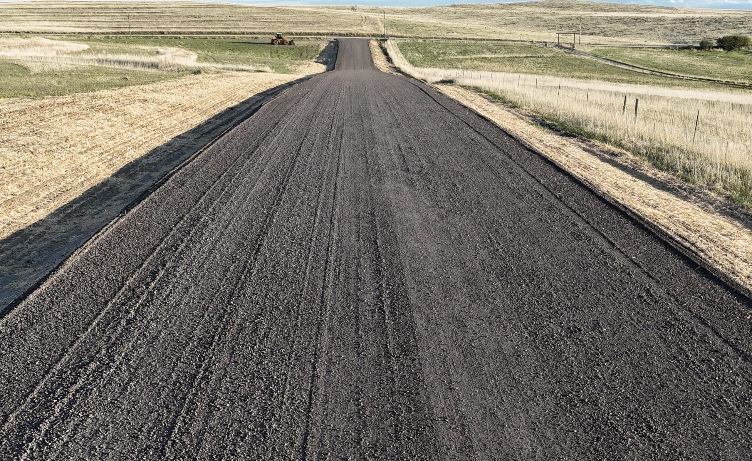
Roads that we survey, design, and build look professional and stand the test of time. With correctly cut ditches, symmetrical slopes at a specific grade, accurate volume predictions (long, short, or balanced dirt), and a road that follows the planned path while meeting any setbacks or easements, you can rest assured it’s professional grade.
Record Drawing Maps
On any project, from septic systems to site planning and grading, documentation matters. We produce record drawings in our office with commercial-grade CAD software, documenting projects in high detail for customers, government entities, engineers, and anyone else who needs them. We also own a full-size plan printer, so we can provide printed record drawing maps on request.
Project-Specific Needs
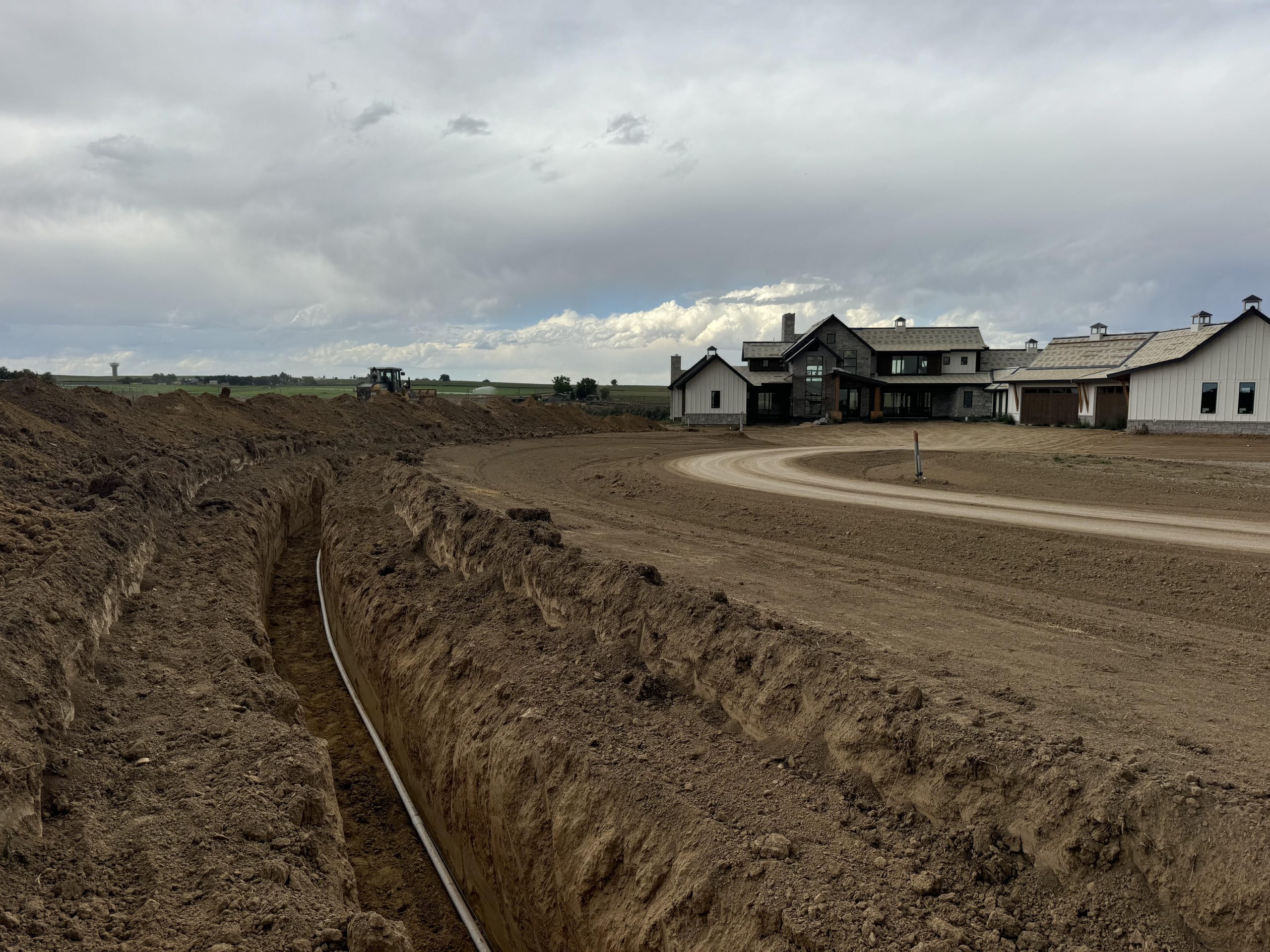
Our survey and design equipment has nearly endless uses, and we put it to work for our customers in many ways onsite, from recording the position and elevation of an underground utility to laying out a foundation in the hole for the concrete crew to follow.
Start your project
Ready to get a quote for your project?
Tell us about your site and what you want to build. We’ll talk through the scope with you, and when survey and design make sense for the job, we’ll fly your site, design it in our office, and build it to the plan with machine control.